Publications
 Partners


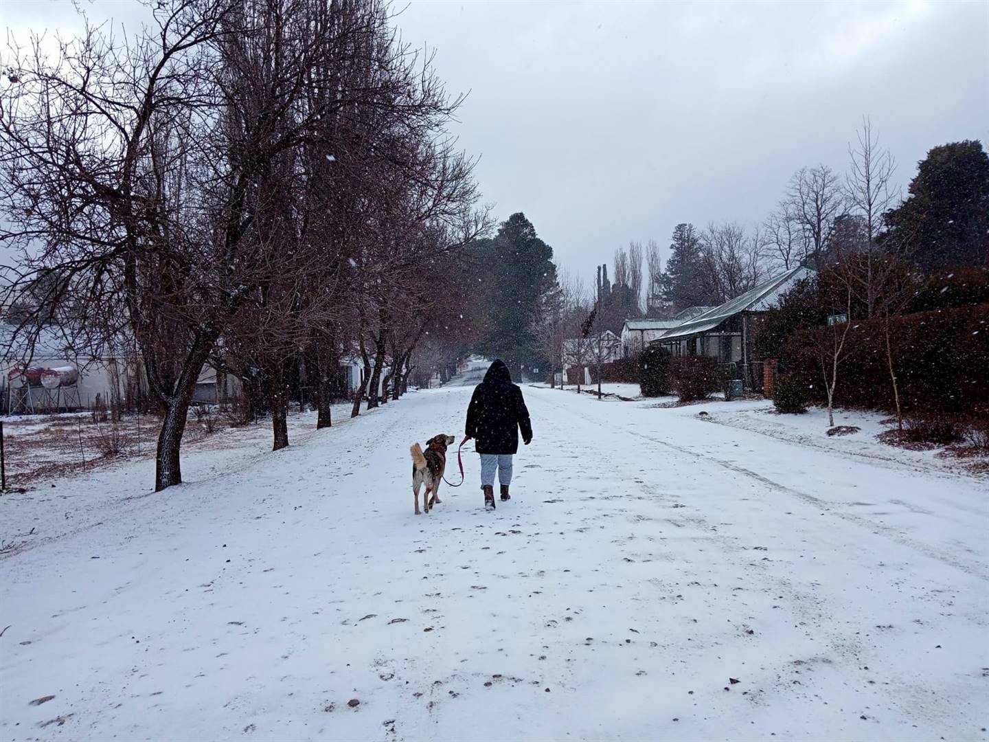
Some central parts of South Africa are turning into winter wonderlands after snow fell overnight on Wednesday during a series of cold fronts sweeping through the country.
The SA Weather Service cautioned of “a very cold day ahead” on Thursday as it issued a warning of snow and cold weather in the Western Cape, Northern Cape and Eastern Cape. It said the cold weather is expected to last well into the coming weekend.
Morning satellite image (22 July 2021). Widespread snowfall observed over the southern interior of the country. Good rainfall forecast along the south coast of the Eastern Cape. Stay warm. A very cold day ahead. pic.twitter.com/bLWgUCQSs7
— SA Weather Service (@SAWeatherServic) July 22, 2021
Ceres snow ?? pic.twitter.com/X7H7hgEmL2
— Mthobeli Jileka (@MthoJileka) July 22, 2021
The service predicted snowfall in high-lying areas and mountain ranges of the western parts of the Eastern Cape, including the Tsitsikamma, Kouga, Sneeuberg, Drakensberg and Winterberg mountains. Several roads in the province were closed, including the N6, N9 and the R56, and motorists were advised to consider alternatives routes.
Megan sent us these beautiful images in Hogsback pic.twitter.com/Jl2CK9eS8F
— Storm Report SA (@StormReportSA1) July 22, 2021
On Monday, the weather service also said that the Free State would experience snow on Thursday, and it warned farmers and the public “to take the necessary precautions ahead of the expected cold snap and ensure that livestock and pets have sufficient shelter and water”.


The Gauteng Weather account shared a message that the province would experience one of the coldest days since 2011 and that the “Antarctic pulse” will bring “sub-polar air” to the region.
???????? ANTARCTIC PULSE BRINGS VERY COLD SUB-POLAR AIR TO GAUTENG & MOST OF ????!!!TEMPERATURE RECORDS COULD TUMBLE IN PLACES, IN ONE OF THE WORST COLD SPELLS IN NEARLY A DECADE | ?? Scott Duncan pic.twitter.com/WRUAjS0XQd
— Gauteng Weather (@tWeatherSA) July 22, 2021
| ||||||||||||||||||||||||||||||
 |